Türkçe
 English
 Deutsch
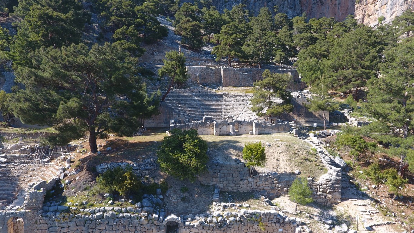
Ancient City of Arykanda
The fact that the city's name philologically reflects the native Anatolian language shows that it is one of the oldest cities in the region. Besides Arykanda, Late Chalcolithic–Early Bronze Age axes discovered in recent years in Limyra and Patara indicate that this region was generally densely settled. However, other than the stone axe dating back to the 2nd millennium, based on the findings, it is difficult to take the city's history back before the 5th century BC. Coins belonging to native lords Kuprili and Aquwami from the 5th century BC reflect Arykanda during Persian rule, while coins belonging to the Lord of Limyra, Pericles, dating to the 4th century BC follow this. According to this situation, Arykanda must have remained under Limyra's rule for a while and changed hands with Alexander. It is known that after Alexander's death, like other cities in the region, it fell into the hands of the Ptolemies, then the Seleucids, and after the Peace of Apamea (Dinar), it came under the control of Rhodes.
In the 2nd century BC, we see Arykanda minting coins as a city included in the Lycian League. In 43 AD, when Emperor Claudius put an end to the Lycian League, the Lycia Region was turned into a province together with Pamphylia and attached to Rome. The 2nd century AD is a period when the name Arykanda was frequently mentioned by various sources. The city, which was partially repaired after the great earthquake in 240 AD, is referred to as "Akalanda" or "Orykanda" during Byzantine rule. Based on ruins and Byzantine sources, it is possible that Arykanda, whose existence we know of until the 11th century, relocated after this date and moved to the south of today's highway.
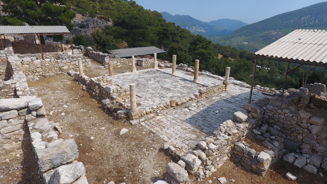
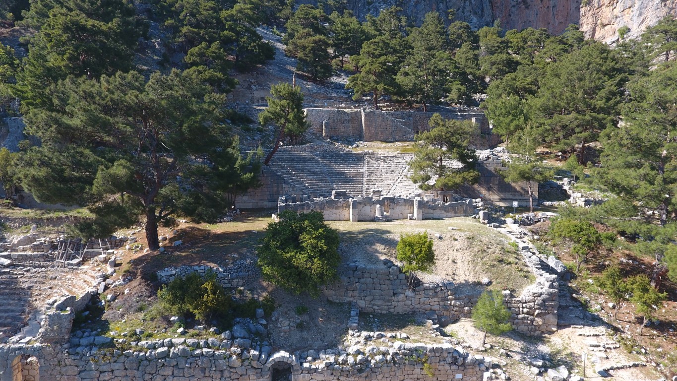
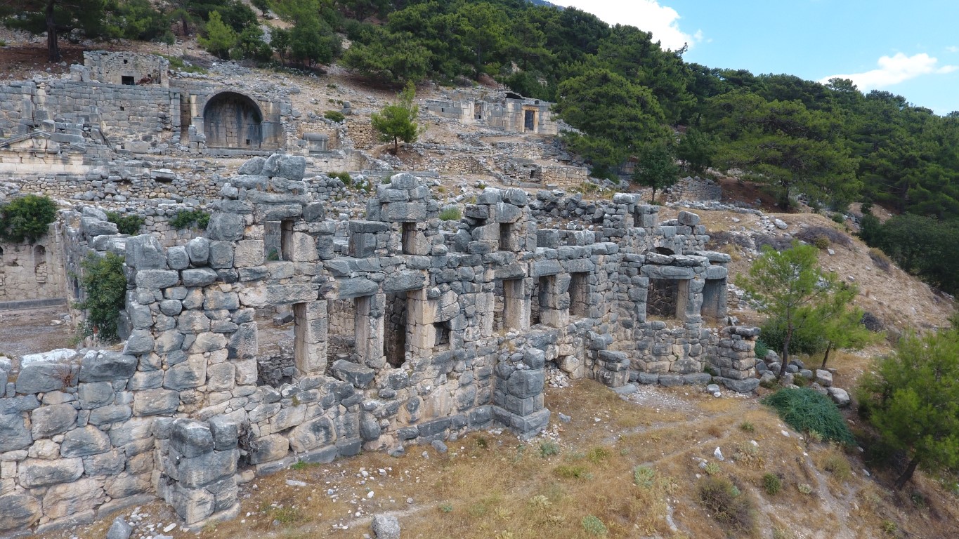
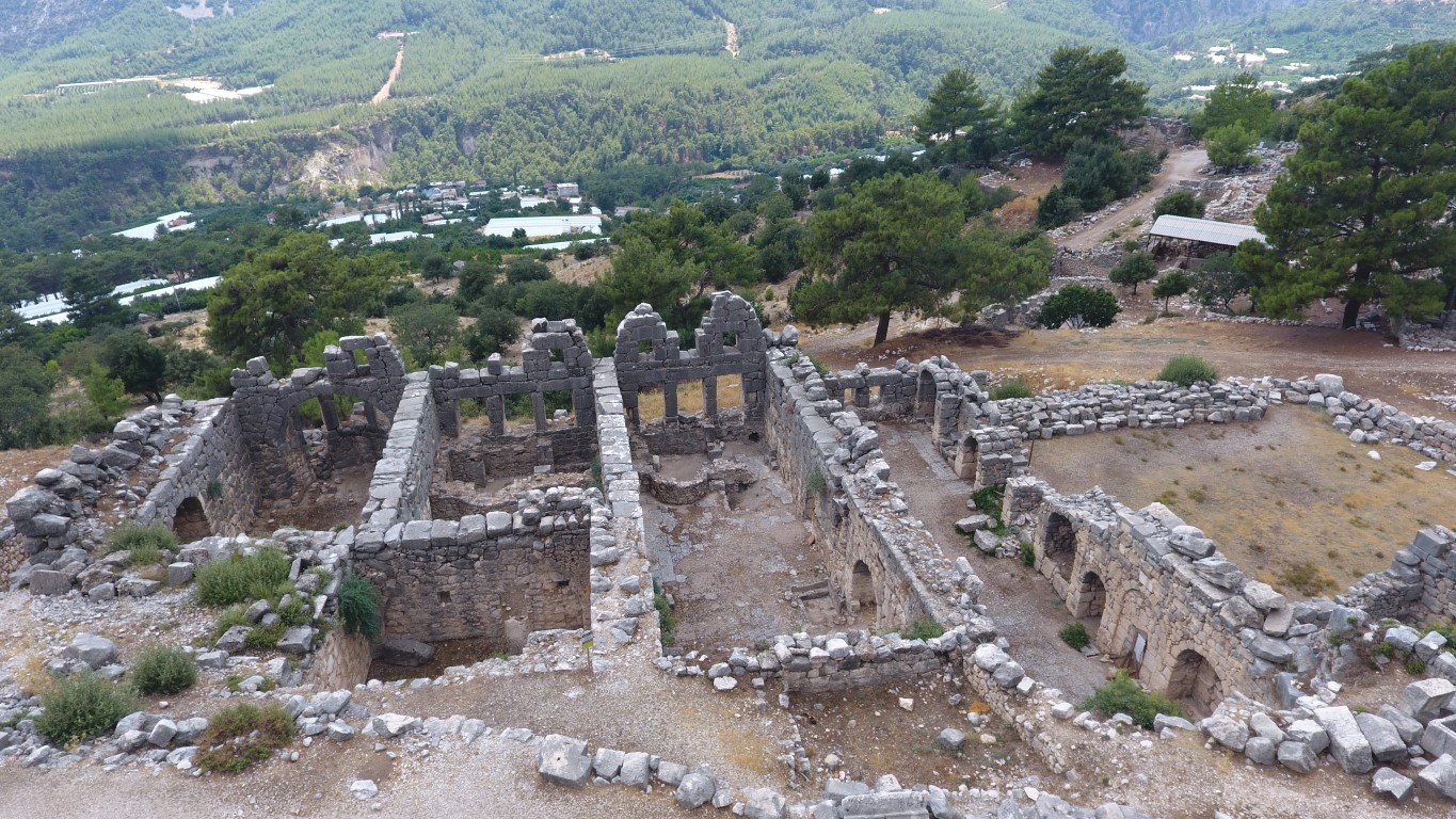
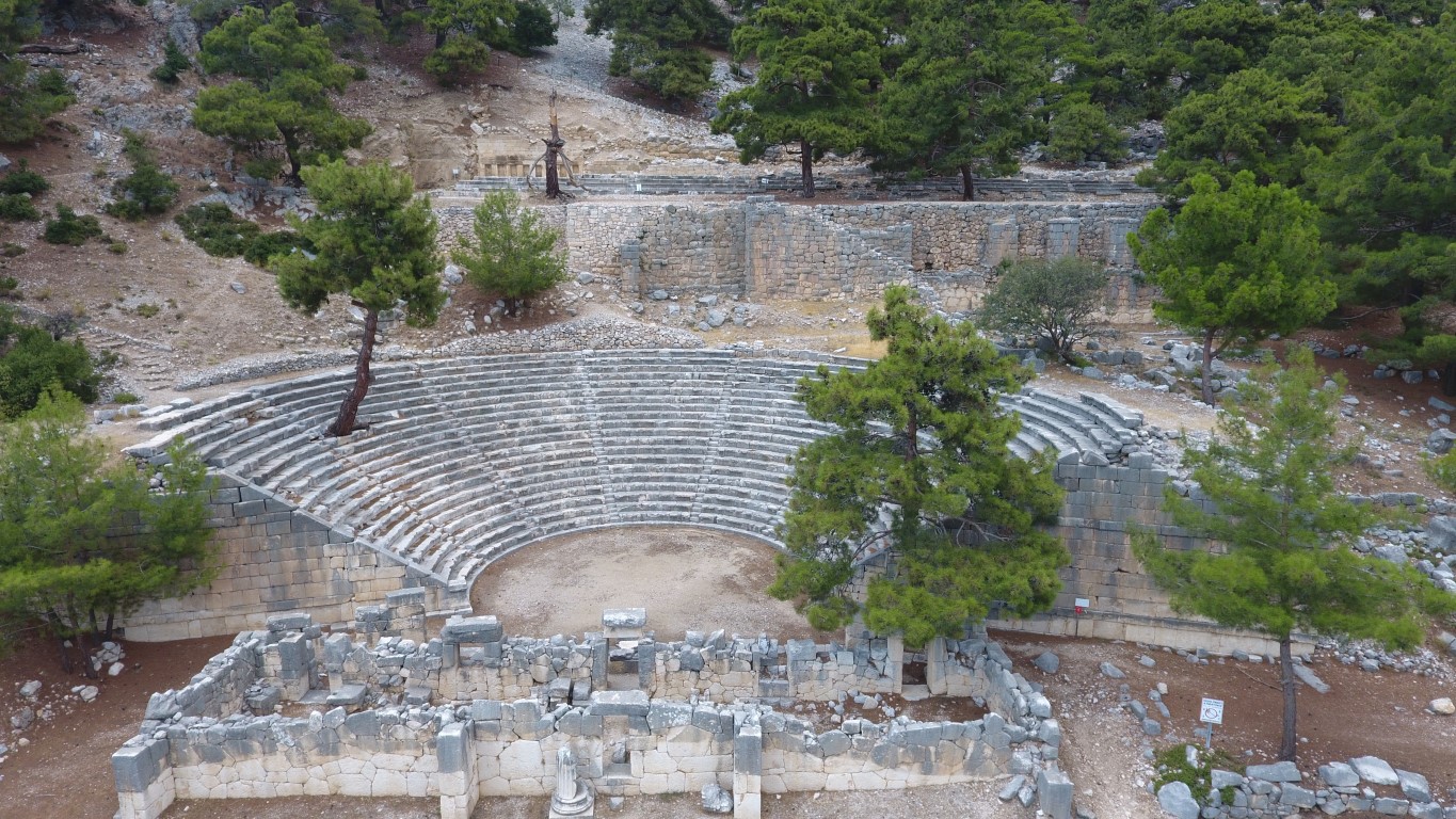
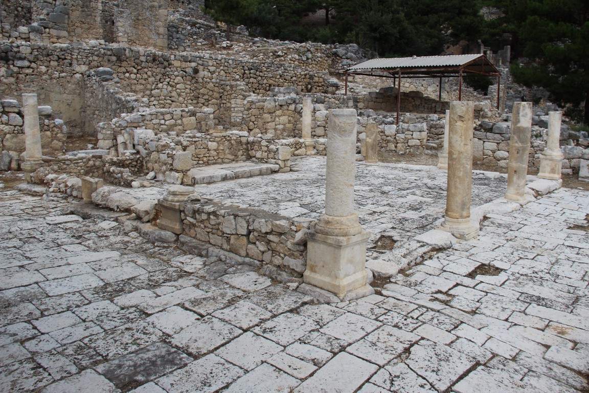
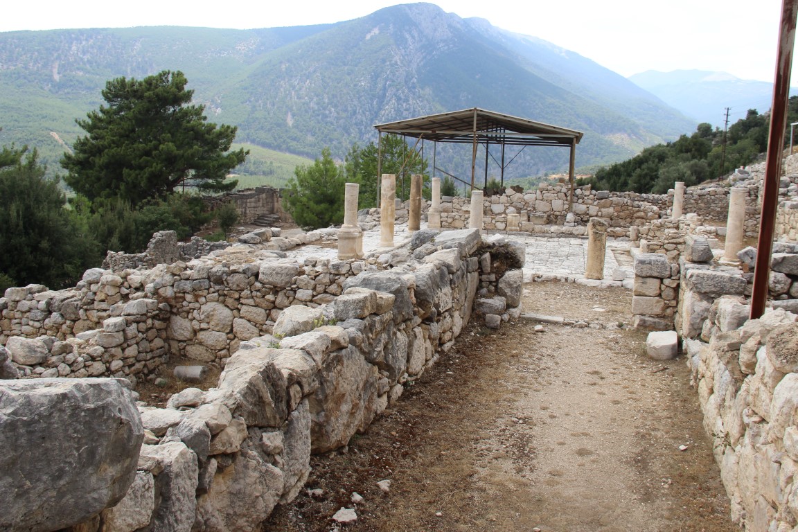
The city of Arykanda is located on a south-sloping terrain starting from the bottom of a steep rock face known as Şahinkaya. The structure located at the highest level in the city is the watchtower at the southwestern foot of Şahinkaya. The acropolis with a triangular plan to the south of the tower is thought to be the first settlement of the city. To the east of this area, there is the Bouleuterion, and to the north of the three shops to its east, there is the temple built in the name of the Sun God Helios, constructed in the 4th century BC. The other structure at the highest level after the city's watchtower is the stadium built in the 1st century AD. There are seating rows on one of its long sides, while the other long side opens to the slope. On the terrace just below, the small but best-preserved theater of the region is located. On the lowest terrace, the agora and the odeon, which also served as a council building, can be seen. The gymnasium located in the southeast of the city is situated right next to the bath and gives a bath-gymnasium appearance. The burial area of the city, named the "Eastern Necropolis", draws attention with its monumental tombs, many of which are still standing. All of the monumental tombs acting as terraces for each other belong to the 2nd century AD, and the bath on the terrace below them, which has survived up to the roof level, is one of the well-preserved structures of the city. The city's water need is provided by facilities showing a great skill and example of water engineering. Four separate leveled canals carved into steep rock faces where Aykırıçay emerges form the main lines of the system that brings water to the city.